
07) Detecting Trends and Geospatial Patterns of River Ice Navigability With Remote Sensing
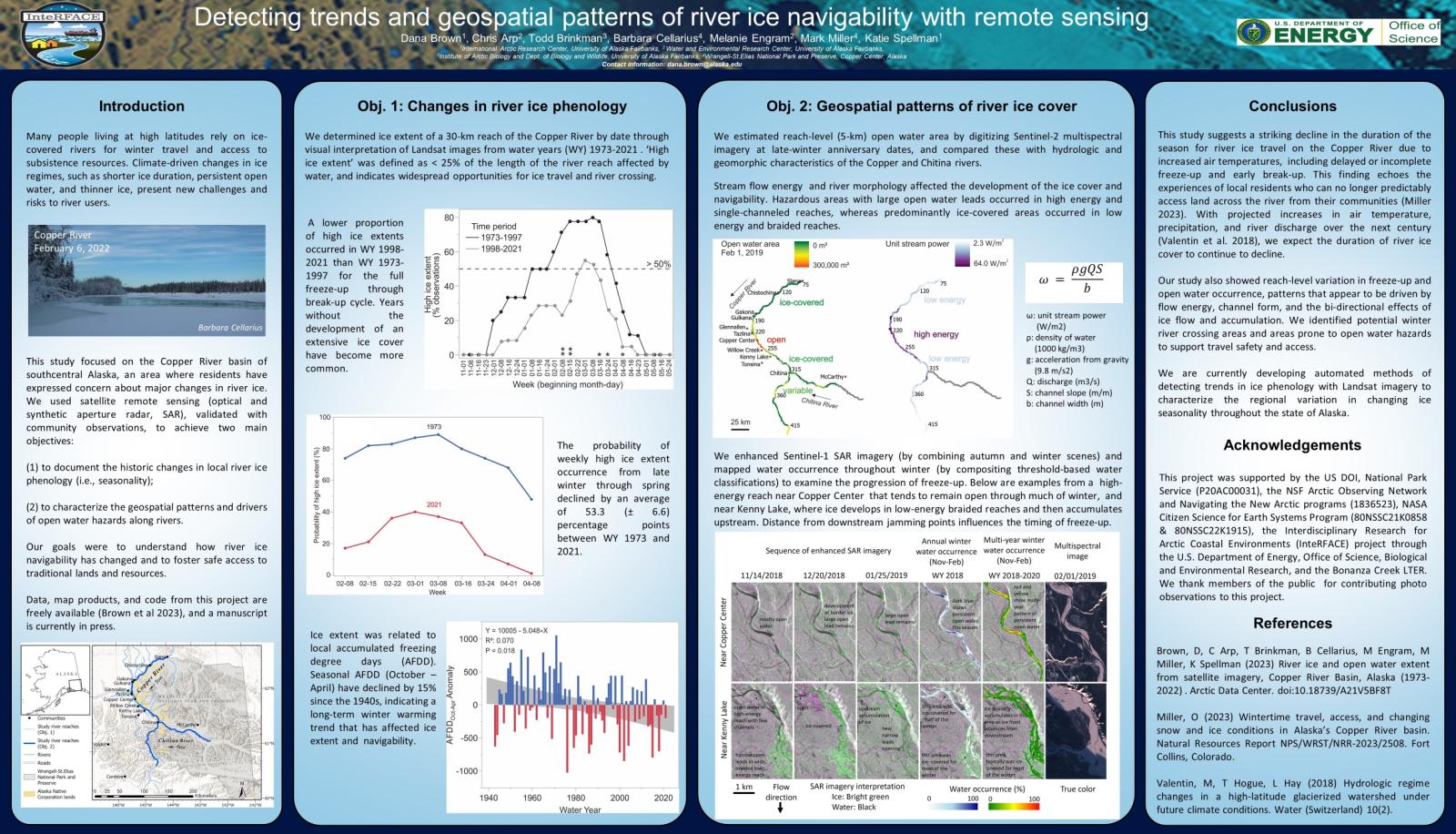 Climate-driven changes in high-latitude river ice regimes present new challenges and risks to people who depend on the ice cover for winter travel and access to resources. Our study focused on the Copper River basin of southcentral Alaska, where residents have expressed concern about major changes in river ice conditions. We used satellite remote sensing (optical and synthetic aperture radar, SAR), validated with community observations, to document the historic changes in local river ice seasonality and to characterize the geospatial patterns and drivers of open water hazards. We found a substantial decline in the weekly probability of extensive ice cover in the last ~50 years (53.3 (± 6.6) percentage points) due to increasing air temperatures. Changes include both delayed or incomplete freeze-up and early
break-up. We mapped geospatial variation in freeze-up and open water occurrence, patterns that appear to be driven by flow energy, channel form, and the bi-directional effects of ice flow and accumulation, and differentiated potential winter river crossing areas from hazardous open water zones. The results of this study are intended to support local decision-making and adaptation in response to rapidly changing river ice conditions. We are currently developing automated methods to characterize the regional variation in ice seasonality trends throughout the state of Alaska.