
Improvements to Central U.S. Precipitation Simulations with Higher-Resolution Modeling
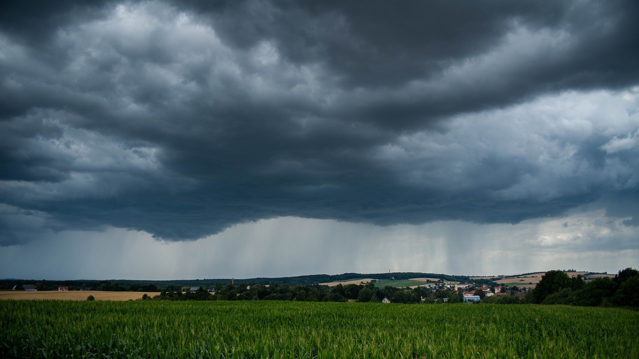
Prior observational and modeling studies indicate that land use and land cover change (LULCC) in the Central U.S. has led to significant changes in surface temperature and precipitation. Specifically, expansion of rainfed and irrigated agricultural lands from 1900 to the 1950s, as well as increases in greenhouse gas concentrations, have likely influenced historical changes in the mean and extremes of temperature and precipitation in this region. The complex interplay of global signals with regional LULCC necessitates the use of Earth system models (ESMs) capable of capturing these multiscale processes. A team of researchers used the variable-resolution (VR) configuration of an ESM to study the impacts of historical LULCC in the Central U.S. The VR experiments show stronger LULCC-induced precipitation increases over the Central U.S. in May and June. These results demonstrate the potential of VR ESMs in simulating extreme convective storms in regions with significant LULCC.
The results of the VR ESM experiments show that historical LULCC leads to stronger precipitation increases over the Central U.S. during May and June. Researchers demonstrated the potential of using VR global models for hydroclimatic simulations in regions with significant land changes. A holistic Earth system modeling approach confirms the previously formed hypothesis that model biases in surface temperature and precipitation in the Central U.S. can be improved by enhancing the representation of land and atmosphere processes and increasing the model’s resolution.
LULCC has likely affected the historical climate of the Central U.S. Numerical experiments using ESMs can enhance understanding of how LULCC has affected the regional climate. Prior modeling studies have been limited in their conclusions by model resolution. Recent developments in Earth system modeling allow for higher-resolution regional simulations over focused areas of interest within coarser-resolution global simulations. Researchers performed high-resolution model experiments using the Community Earth System Model over the Central U.S. to understand how resolution affects model skill and simulated LULCC impacts. Our results show that skill in simulating precipitation over the Central U.S. is primarily dependent on resolution, whereas skill in simulating temperature is more dependent on accurate land use. The VR experiments show stronger LULCC-induced precipitation increases over the Central U.S. in May and June. This is because LULCC shifts the thermodynamic environment to one that is more conducive for convection. The study demonstrates that more accurate representation of land use is key to reducing model biases in warm-season precipitation over the Central U.S.